
A mile of ribbed sand, a line of wheeling oystercatchers, and enough space to walk without passing another soul. Low tide reveals stretches of the British coast that do not exist for the rest of the day, and that is precisely why they deserve a little planning. The sea does not retreat on a whim. It follows a timetable you can read days or weeks in advance.
The beaches that dry out furthest are also the ones where the water returns across a long, flat, featureless slope. The gap between a brilliant walk and a genuinely frightening one usually comes down to a tide table, a bit of local knowledge, and an honest decision about the season you are walking in.
Two numbers matter more than any other: the time of low water and the height of low water. The time tells you when the sea is at its lowest. The height tells you whether the sandbanks you are hoping to reach will be uncovered at all. A low water of, say, 0.4 metres above chart datum on a big tidal range will bare far more sand than a low water of 2.1 metres on the same beach a fortnight later.
Spring tides arrive near the new moon and the full moon, when the sun and moon pull roughly in line, and they produce the biggest range between high and low water. Neap tides, around the first and third quarters, produce the smallest. The lowest low waters of the month fall on spring tides, so if a route depends on a bank showing above the water, you need a spring low — any old low water will not do.
From low water, roughly one twelfth of the range returns in the first hour, two twelfths in the second, three in the third, three in the fourth, two in the fifth and one in the sixth. The middle hours move fastest. On a flat beach that can look like a shallow sheet of water advancing faster than you can walk on soft sand. As a rule, the safest window is an hour either side of low water, and the further you have walked out, the earlier you should turn around.
Remember too that low water drifts about fifty minutes later each day. A route that works on Saturday morning will be an afternoon walk by the middle of the following week.
Daylight is generous, the sand is warm underfoot and families spread out along the shore. The hazards are softer than in winter but real. Heat shimmer flattens distance and makes a bank two miles away look close. Children dig, wander and tire. People follow a crowd onto sand that looks continuous but is cut by channels.
Walk the return leg in your head first. Pick a landmark — a groyne, a slipway, a distinctive dune — and check it is visible from the far end of your route. If the beach is crowded at the access point, the walk back will be crowded too, so allow extra time rather than extra distance.
The largest spring tides of the year tend to fall near the equinoxes in March and September, which makes early autumn a fine time for ambitious low-tide walking. The crowds have thinned, the light is softer, and the sandbanks stretch further than they do in midsummer.
What changes is the weather. A strong onshore wind and a building swell can push water across flat sand faster than the tide table implies, and sea fog can arrive within half an hour on an otherwise clear afternoon. Check the swell forecast as well as the tide, and treat any flat, hazy horizon as a signal to shorten the route. Autumn is also the season for the first proper gales, which rearrange channels and gutters on sandy beaches from one week to the next.
In winter the tide is rarely the limiting factor — daylight is. Plan a walk that finishes well before sunset, not one that finishes at sunset, and accept that a route which takes three hours in July may only be sensible at half that length in January.
Cold makes everything harder. Wet feet, wind chill and a long trudge back across exposed sand drain energy quickly, and on a quiet weekday you may be the only person on the beach. Choose somewhere with straightforward access, ideally within sight of a car park or a town, and carry a torch even if you intend to be back by three o'clock. Mobile coverage comes and goes on remote stretches; treat your phone as useful rather than guaranteed.
If you have a heart condition or another medical issue that cold water could affect, take advice from your GP before planning a winter shoreline walk.
Causeways are the most deceptive feature on this list, because they look like roads. The ones at Lindisfarne, St Michael's Mount and Burgh Island all have published safe crossing windows, and the principle is the same everywhere: cross on a falling tide and be back before the tide turns, however dry the road looks. Water across a causeway is often deeper than it appears, and the sea can arrive from behind, cutting off the route you came along.
Sandbanks bring a different set of problems. Gutters and drainage channels between the bank and the shore widen as the tide drops and fill first as it returns, so the bank itself may still be dry while your way back is already under water. Estuaries such as Morecambe Bay, the Dee and the Wash combine fast tides with soft mud and patches of quicksand; where official guided crossings operate, use them.
If the surface begins to feel soft and spongy underfoot, turn around and keep moving steadily rather than running, which drives you in deeper. On any large flat beach, walking out is the easy half.
A simple template works for most beaches. Arrive ninety minutes before low water, walk out at an easy pace, turn around no more than thirty minutes after low water, and expect the return leg to feel longer than the outward one. Then adjust honestly: halve the distance in winter, add time for soft sand and a headwind, and cut it further if the beach is one you do not know.
Keep a note of the beaches that suit you and the tide heights that work on each. A harbour board, a local tide table pinned up in a chandlery, or a word with a beach warden or coastguard station will often tell you more about a particular stretch than any general guide. Over a season you will build a shortlist of low-tide walks you can trust, and the planning becomes a two-minute habit rather than a research project.
Photo: DeSa-Imaging / Pixabay
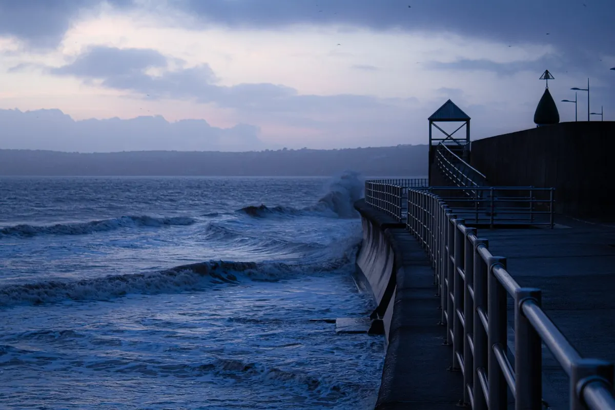
Combine tide tables, storm surge forecasts and official weather warnings to judge winter coastal flood risk — plus a...
Chart datum is the baseline behind every UK tide height. Here's how to read predictions properly, add them to...

A practical checklist for dog owners on UK coasts and estuaries, covering tide tables, the rule of twelfths, cut-off...


Your daily guide to tides and coastal conditions.
